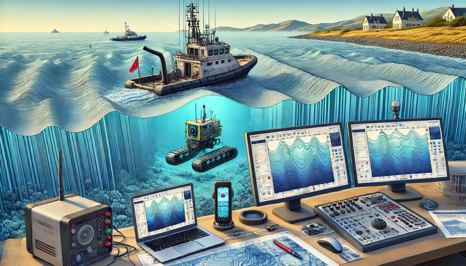
Topographic / Bathymetric Data Collection
Topographic and Bathymetric Data Collection involves gathering detailed information about the surface features of land and underwater terrains. These datasets are crucial for infrastructure planning, coastal engineering, navigation, environmental studies, and disaster mitigation.
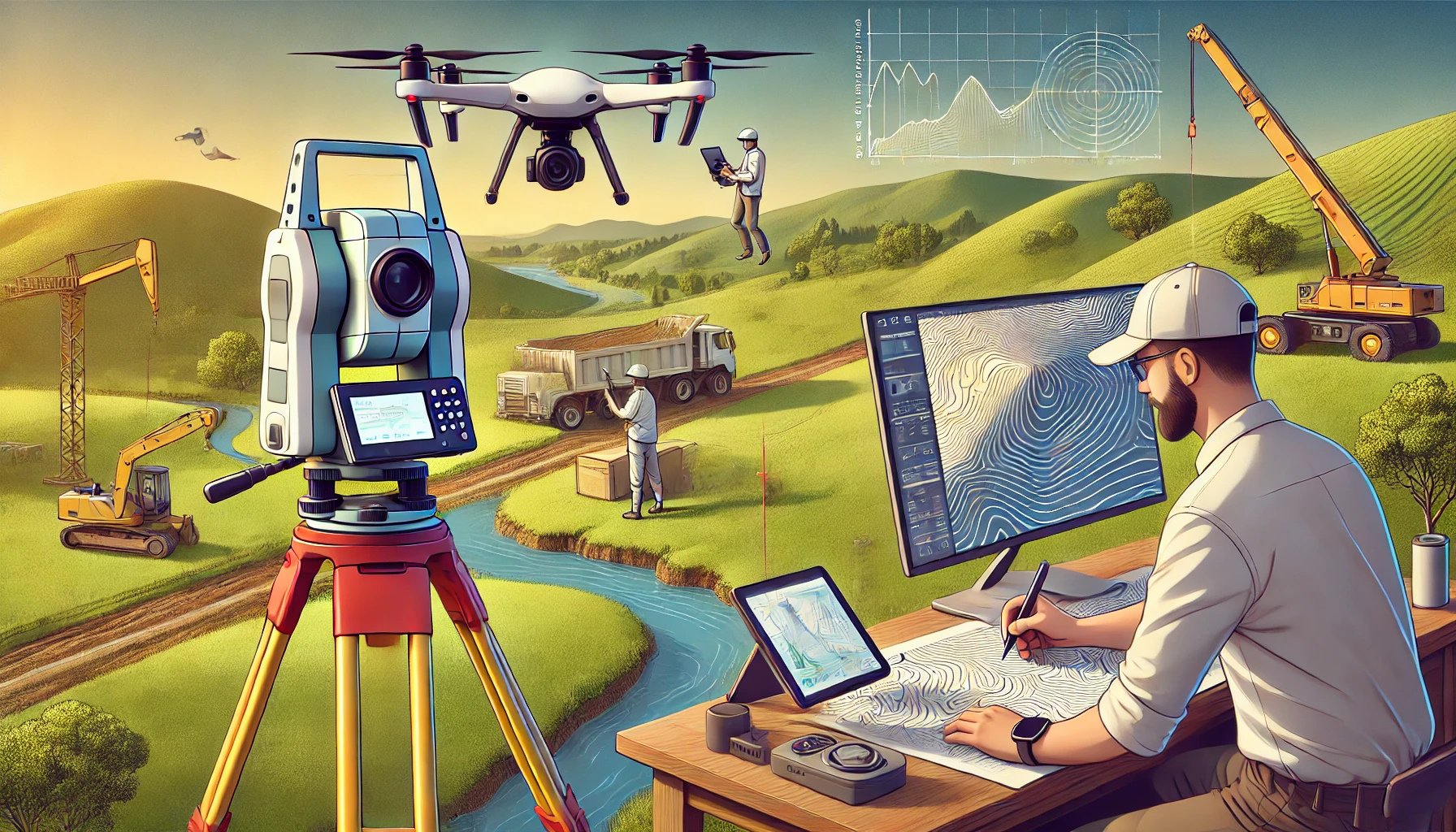
Topographic Data Collection
Topographic data collection involves the measurement and mapping of land surface features to capture details about elevations, contours, and natural or man-made structures. This data is critical for a variety of applications in urban planning, infrastructure design, environmental studies, and disaster risk management.
Bathymetric Data Collection
Bathymetric data collection involves measuring and mapping underwater topography, including the depth and contours of ocean floors, rivers, lakes, and other water bodies. This information is crucial for navigation, marine construction, environmental studies, and resource management.